The Most Dangerous Roads in the World (And the People Who Drive Them Daily)
Most roads have one job: get you from one place to another without incident. The roads on this list have nominally the same job, but they pursue it with a complete disregard for your comfort, your nerves, your vehicle, and in several cases your continued existence.
These are not roads that have merely been described as dangerous by nervous tourists who prefer motorway driving. These are roads with documented death tolls, official government warnings, weight and height restrictions that most vehicles fail, and in at least one case a tide that will simply submerge the road entirely if you miscalculate your timing. Several require specialist vehicles. Some require specialist drivers. A few require the kind of philosophical acceptance that most of us don't develop until much later in life.
What unites them, beyond the obvious, is that people drive them every day - not for the thrill, but because they're the road. There is no other road. And while tourists increasingly flock to some of these routes specifically for the adrenaline, for the locals they are simply Tuesday. The world's most remote places tend to have roads like these, which is one of the more pointed ways the universe has of telling you that you are somewhere genuinely far from the comfortable middle of things.
Yungas Road (The Death Road), Bolivia
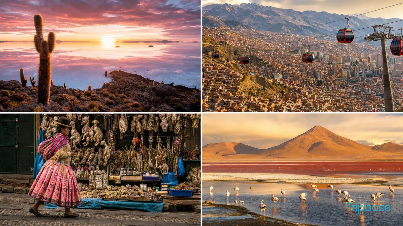
Bolivia's North Yungas Road has been called the most dangerous road in the world for so long that the title has become part of its branding. In the 1990s, the Inter-American Development Bank estimated it killed between 200 and 300 people per year - a figure that earned it the nickname "El Camino de la Muerte" and a place in the kind of travel writing that involves people being very impressed with their own risk tolerance.
The road runs 69 kilometres from La Paz down to Coroico, dropping 3,600 metres in altitude along the way. At its narrowest, it is 3.5 metres wide - barely enough for a single vehicle, and certainly not enough for two vehicles passing each other, which is an encounter that has historically been resolved by one of them going over the edge. The drops fall hundreds of metres. Fog, rain, and waterfalls regularly cascade directly across the road surface. Wooden crosses mark where previous drivers ran out of road.
The good news - if you're arriving in La Paz with plans to cycle it - is that a new bypass now handles most motor traffic, and the old death road is primarily the domain of mountain bikers descending it at alarming speeds while wearing full protective gear and signing waivers. Approximately 25,000 cyclists do it annually. This does not make it less terrifying. It does mean you are extremely unlikely to meet a truck coming the other way.
Fairy Meadows Road, Pakistan
Fairy Meadows is a meadow at the base of Nanga Parbat - the world's ninth-highest mountain - and the name was given by German climbers in the 1930s who found the landscape impossibly idyllic. The road to get there was apparently named by someone else, who presumably had a different experience of the journey.
The Fairy Meadows Road runs 16 kilometres from the Karakoram Highway up to the meadow, covering terrain that is unpaved, narrow, and in many sections barely distinguishable from the cliff face it clings to. There are no guardrails. The road averages about three metres wide. Overloaded jeeps are the standard transport; regular cars cannot complete the journey. In several sections, the outer edge of the road is crumbling. The final section from the jeep stop requires walking, which - given the alternative was riding a crumbling jeep to the edge of a precipice - feels like the sensible part of the journey.
It is worth it. The meadow itself is extraordinary, the views of Nanga Parbat are among the most dramatic in the Himalayas, and the knowledge that you survived the road to get there adds a particular flavour to the experience. Pakistan's northern regions contain several roads in this category; Fairy Meadows is merely the most vertical of them.
Karakoram Highway, Pakistan and China
The Karakoram Highway is the world's highest paved international road, reaching 4,693 metres at the Khunjerab Pass on the Pakistan-China border. It runs 1,300 kilometres through some of the most geologically unstable terrain on the planet - the point where the Indian subcontinent is still actively colliding with Asia, which means the mountains here are still growing and the road through them is still, technically, moving.
The hazards are numerous and seasonal: landslides that can close sections for weeks, glacial lake outburst floods that rewrite entire stretches of road, avalanches in spring, altitude sickness at the pass, and the general conditions of a highway carved through a mountain range that the planet is still enthusiastically rearranging. Stretches near Khunjerab offer views of the Passu Cones - cathedral peaks of glaciated rock - that are genuinely breathtaking, which helps, since you are already short of breath due to altitude.
Tourists can drive it, but should drive the Pakistani sections in a local vehicle with a local driver, carry emergency food and supplies, and check conditions obsessively before departure. Several sections are closed seasonally. Several others are closed unexpectedly, for reasons the mountains have not seen fit to explain in advance.
Dalton Highway, Alaska, USA
The Dalton Highway runs 666 kilometres from Fairbanks to Deadhorse, Alaska - a number that the road has done absolutely nothing to make less ominous. It was built in 1974 to service the Trans-Alaska Pipeline and remains one of the most remote roads in North America: for 400 kilometres there is no gas station, no cell service, no hospital, and in winter, temperatures regularly drop to -50°C (which is also -58°F, in case Fahrenheit makes this sound more manageable; it does not).
In summer, the road is unpaved gravel that kicks up rocks at the windshields of passing vehicles with enough force to crack them, which is why the advice to any driver is to carry two spare tyres and a windshield repair kit. Trucks doing 100km/h on gravel roads in both directions are a permanent feature. In winter, the road is ice, the temperatures are fatal, and the trucks are still there. The scenery - the Brooks Range, the treeline giving way to tundra, the northern lights - is extraordinary. The road is best attempted in summer, in a high-clearance vehicle, with someone who knows what they're doing.
Zoji La Pass, India
Zoji La is a mountain pass in Jammu and Kashmir at 3,528 metres, linking Srinagar to Leh on a road that is, for roughly half the year, entirely buried under snow. The pass is the only road connection between the Kashmir Valley and Ladakh, which means that when it's open, it is in continuous use by trucks, buses, cars, and motorcyclists who have collectively decided that the route's reputation is not their problem.
The road is narrow - in several places single-lane - cut into rock at the edge of steep drops, and subject to sudden weather changes that can deposit several feet of snow in hours. Landslides and rockfalls are routine. The Border Roads Organisation keeps it open during the season by operating essentially continuously, clearing debris and filling potholes in a race against the mountain's determination to reclaim the road entirely. Motorcyclists doing the Manali-Leh Highway consider Zoji La the climax of the journey - the section where the road stops pretending to be a road and admits that it's really just a suggestion.
Guoliang Tunnel Road, China
The village of Guoliang in Henan Province was, until 1977, accessible only by a precarious series of steps carved into the cliff face of the Taihang Mountains. Inconvenient for the villagers; worse for any vehicle that needed to reach them. The solution - proposed, funded, and largely executed by the village's thirteen able-bodied men - was to carve a 1.2-kilometre tunnel directly through the mountain, by hand, using hammers and chisels, over the course of five years.
The result is one of the most extraordinary roads in the world: a tunnel 5 metres high and 4 metres wide, with windows cut through the outer rock face at intervals to let in light and air, each one offering a view of a vertical drop into the valley below. The road surface inside is uneven. The hairpin before the tunnel entrance is essentially a full-lock turn on a mountain ledge. It is a work of extraordinary human effort and quiet institutional insanity, and it is today a tourist attraction precisely because nothing about it suggests it should exist. The men who built it finished their work, looked at what they'd made, and named it the Road That Does Not Accept Cowards. A fair description.
Transfăgărășan, Romania
The Transfăgărășan is different from everything else on this list in one important respect: it is genuinely beautiful and was built specifically by a dictator's ego. Nicolae Ceaușescu ordered its construction in 1970 after the Soviet invasion of Czechoslovakia convinced him that Romania needed a military road crossing the Carpathian Mountains - a road that could be used to rapidly move troops across the range in the event of an invasion that, for the record, never came.
The result is 90 kilometres of hairpin switchbacks ascending to 2,042 metres, with views across the Carpathians that are, by any reasonable measure, spectacular. Jeremy Clarkson famously called it the best road in the world, after which it became rather busier than it previously had been. It is closed from October to June under several metres of snow. When open, it is narrow, the hairpins are tight, the drops are significant, and the traffic in August is enough to create what is, effectively, a queue at 2,042 metres. The scenery is worth it. Come in September if you'd like the scenery without the queue.
Sani Pass, South Africa and Lesotho
The Sani Pass is the only road connection between the South African province of KwaZulu-Natal and the mountain kingdom of Lesotho, rising from 1,544 metres at the South African border to 2,876 metres at the Lesotho border post - a border post which contains what may be the highest pub in Africa, which is either a fitting way to recover from the road or a warning about what the locals think you'll need.
The South African side of the pass is manageable. The Lesotho side - eight kilometres of unpaved, rocky track with gradients reaching 33% and drops alongside the road that encourage you to develop an immediate and sincere interest in staying in your lane - requires a 4x4 vehicle and is, in wet weather, best reclassified as a temporary riverbed. Rental car agreements explicitly prohibit the Sani Pass; this is because the rental companies have seen it. The views from the top, looking back across the Drakensberg, are extraordinary and represent almost certainly the best thing a vehicle full of people who've just survived a mountain road can agree on.
Skippers Canyon Road, New Zealand
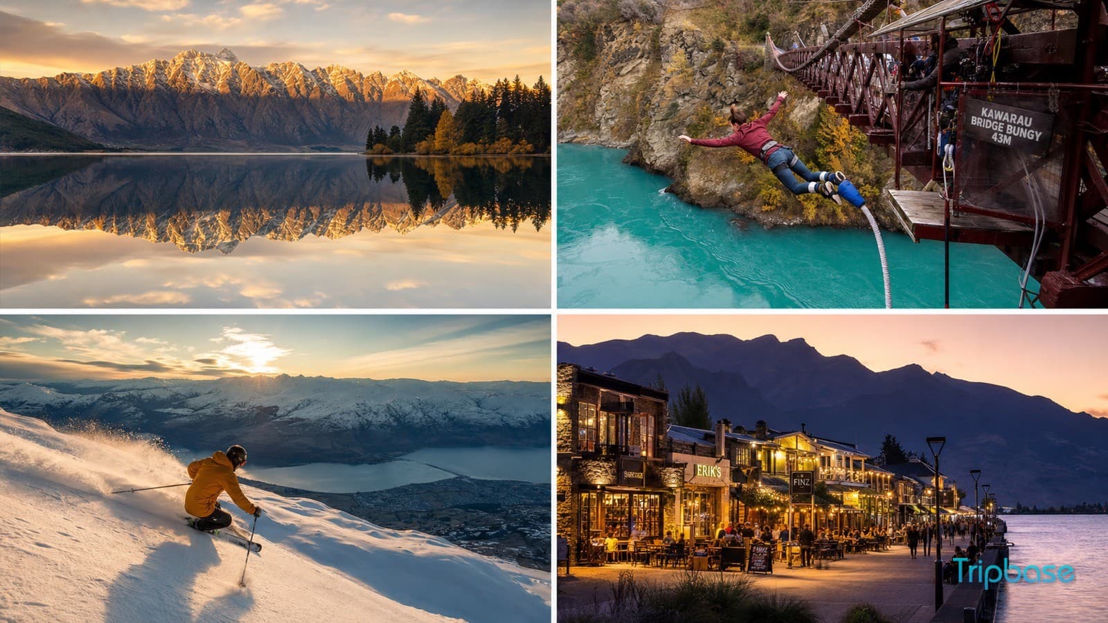
Skippers Canyon Road runs 25 kilometres from near Queenstown into the mountains of the Shotover River gorge - one of the most dramatic landscapes in the South Island. It was originally built during the 1860s gold rush, when people were sufficiently motivated by the prospect of gold that carving a road into a cliff face seemed like a reasonable afternoon project.
Rental car companies operating around Queenstown explicitly prohibit this road in their agreements. This is not a pro forma precaution - the road is single-lane, largely unsealed, has vertical drops of hundreds of metres with no barriers, and includes sections where the cliff overhangs the road and sections where the road overhangs the cliff in ways that are geometrically different but equally alarming. Local guided tours are available and recommended. The canyon itself - schist rock formations above a clear blue river, with 150-year-old gold rush remnants visible - is beautiful, and is considerably more enjoyable when someone else is worrying about the road.
Stelvio Pass, Italy
The Stelvio Pass in South Tyrol is the second-highest paved mountain pass in the Alps at 2,757 metres, and the approach from the Bormio side involves 48 numbered hairpin turns ascending the mountain in such tight succession that you can see previous and subsequent sections of road above and below you simultaneously, as if someone has built a car park for a very long, very ambitious vehicle. It is magnificent and deeply silly.
The road is not particularly dangerous by the standards of this list - it is paved, maintained, and passable in a regular car. What makes it notable is the sheer compression of the hairpins, the altitude, and the traffic in summer, when motorcyclists and cyclists and vintage car rallies all converge simultaneously on a series of bends that were already quite tight when they only had mules to worry about. The views from the pass across the Ortler Alps are outstanding. The descent on the other side, toward Prad, is comparatively straightforward and an excellent opportunity to reflect on how your brakes are holding up.
Passage du Gois, France
The Passage du Gois is a 4.3-kilometre causeway connecting the island of Noirmoutier to the French mainland across the Bay of Biscay. It is a perfectly reasonable road for approximately eighteen hours a day. For the other six, it is entirely submerged under the sea.
The causeway is covered by tides twice daily, and the timing is published in advance - because it must be, because the road is otherwise unmarked, unbarricaded, and entirely indistinguishable from a road that is not about to be underwater. There are refuge towers at intervals where stranded drivers can wait for the tide to recede. These exist because they are needed. Several cars are abandoned on the causeway each year by people who either did not check the tide tables, did not believe the tide tables, or believed the tide tables but underestimated how quickly the Bay of Biscay approaches. The Tour de France has started on it three times, presumably because the organizers felt a race across a road that the ocean reclaims daily was exactly the kind of metaphor professional cycling required.
The world's most dangerous places to visit rarely announce themselves clearly - this is rather the point. Sometimes the danger is geological, sometimes meteorological, sometimes tidal, and sometimes it is simply the accumulated evidence of everyone who drove the road before you and didn't come back to write a travel review. All twelve roads on this list have that in common: someone, at some point, decided that getting to the other side was worth it. Most of them were right.
Disclaimer: None of the roads on this list are recommended for inexperienced drivers, inappropriately specified vehicles, or people who have not yet made peace with the relationship between gravity and altitude. Tripbase accepts no responsibility for what happens if you attempt the Fairy Meadows Road in a rental hatchback. The rental company has, however, already thought about this, and their insurance policy has a clause.